Snowshoeing
Home
Port Moody Hikes
Squamish Hikes
Garibaldi Lake
The Lions
Fraser Valley I
Fraser Valley II
Fraser Valley III
Elk Mountain
Hope Area
Manning Park
Joffre Lakes
Seymour Mountain
Lynn Peak
Useful Forms
Nature Walks
Backpacking Tips
Survival Tips
Links and Books
Maps
Hiking Humour
Hiking Clubs
Snowshoeing
Personal Page
In the News

Vancouver Hiking

South Coast Avalanche Forecast

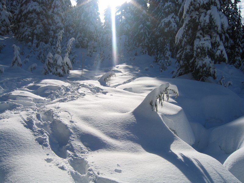
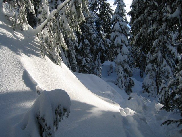
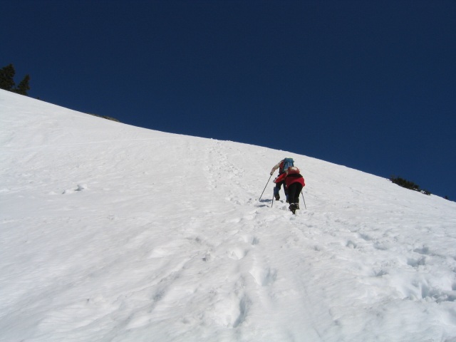
Need some ideas as to where to go?

Here are some of the more popular areas;
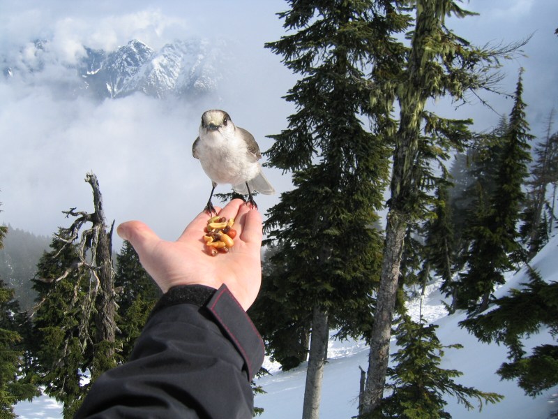
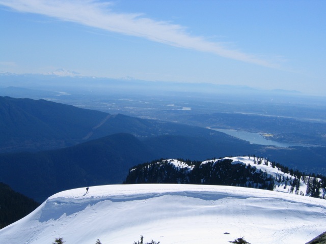
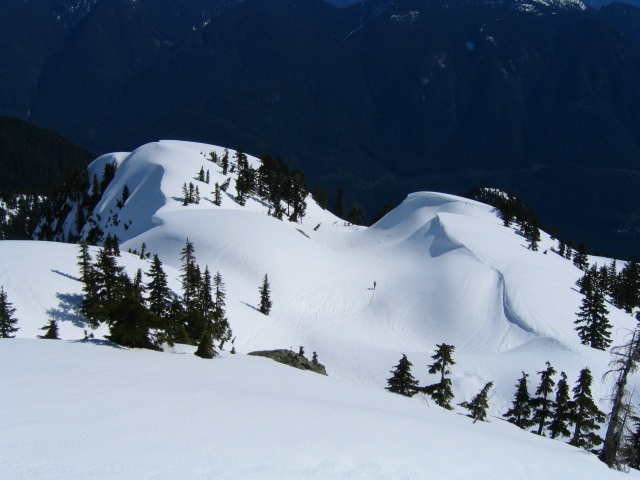
Mt. Seymour

Dog Mountain (located near the main ski run at Seymour – North end of the parking lot)
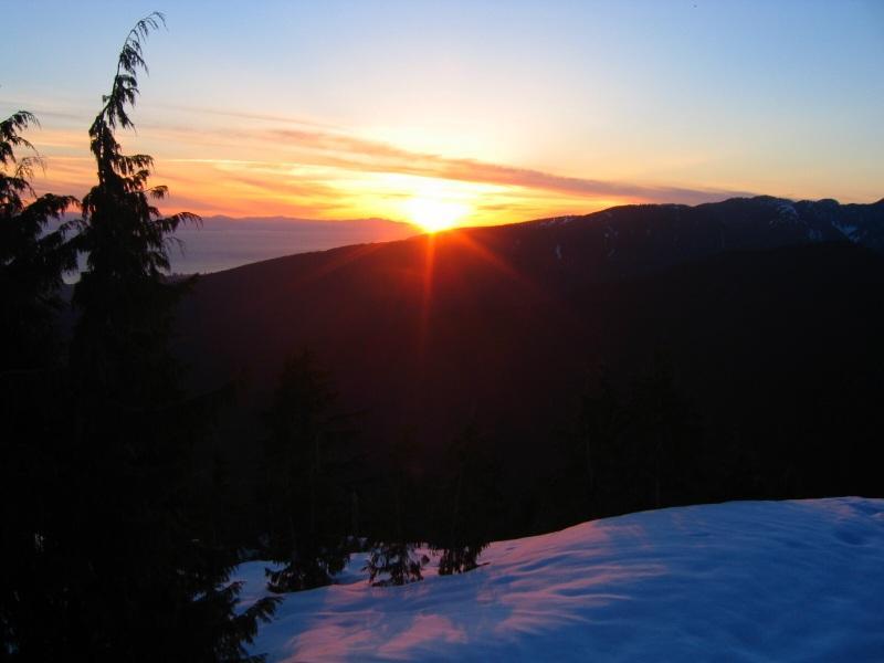
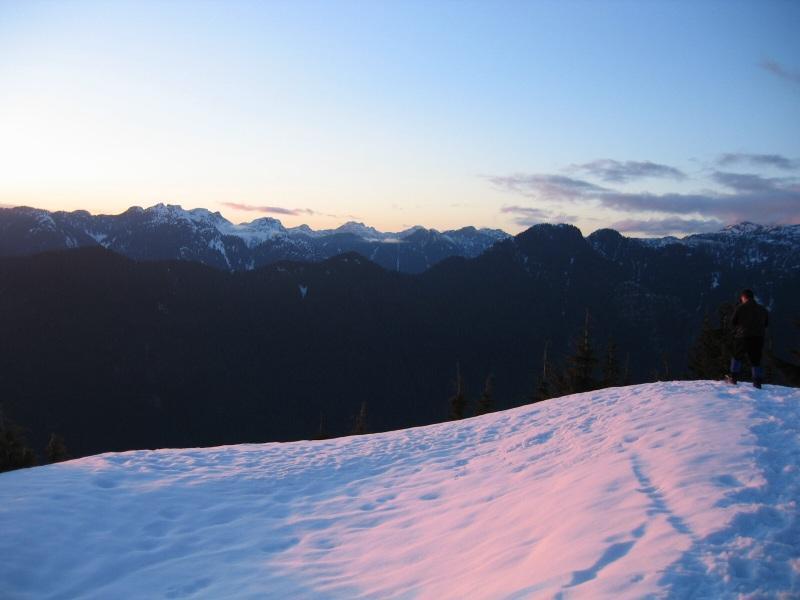
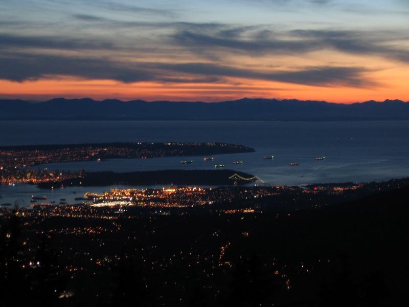
Grouse Mt. , Dam Mt. Goat Mt. and Goat Ridge . All located at the top of Grouse.

Hollyburn Peak, located at the Nordic center on Cypress Mt.

Black Mt. , located from the main parking lot at Cypress Mt.

Brunswick, Hat, and The Lions – accessed from Lions Bay on the Sea to Sky Hwy.

Maple Ridge – U. B.C. Research Forest. Mike lake (keep in mind the gate is closed and the road is not plowed so you have to shoe in)

Manning Park- Fat Dog Ridge, Lightening Lakes circuit, Windy Joe Peak, Poland Lake


footprints.jpg

Winter fun in the Vancouver area

My first trip was Dog Mountain which is a small peak just off of Mt. Seymour. We headed to the west end of the parking lot and the trail is just to the left of the ski run. You drop down into the forest and follow rolling hills until you reach the peak . The Trail is well marked and takes about 1 1/2 hours to make the peak. From here we headed south a bit and on to Dinkey Peak for more great views of the city below.

cabin1.jpg
North Shore Search and Rescue cabin

Crown Mountain
crownmt.jpg

A few steps from Dog Mountain's peak
inreach.jpg

The trail going in
trail_in.jpg

Here are some photos that were taken during a night trip that I did with the Maple Ridge Outdoors Club. Dog Mt. is perfect for this. It is a short trail and we all met after work.

14551.jpg

14563.jpg

Downtown Vancouver
14557.jpg

Another popular spot is Hollyburn Peak. Located at the Cypress Mountain cross country ski area , the trail head is just to the left hand side , near the power lines. The trail follows the cross country ski trail and apart from the 1/2 hour is fairly easy.
This trip should take about 3 hours return not counting your time up top.
Don't forget to take some nuts for the Whiskey Jacks and watch these little guys don't take off with your lunch. It was a cloudy day when I went up , but this added drama to the views.

say_cheese.jpg

vieweast.jpg

viewwest.jpg

A  visit to Mount Seymour was in order on a nice spring day in April. The Snowshoe Trail is to the left of the Ski Run at the west end of the parking lot. The trail is well marked and sees a lot of use.This is one of the things we love about Vancouver. Snowshoe in the early morning and hit the beach in the afternoon.

van.jpg

cornice.jpg

climbing.jpg

Now here is the tricky part. How do you get down from the top after the sun has warmed up the slope and the snow is very , wet and mushy.This is the view from the east side of the 1st. Pump Peak looking down towards Indian Arm.

at_the_top.jpg

bumslide.jpg

Down  safe and ready for the next little hill.

the_way_down.jpg

What an end to a great seaon ! I had a bit of a late start as I didn't get out shuing until December 20th , however I'm looking forward to next year.
Also had a great time with the gang from Club Tread and The Maple Ridge Outdoors Club.

cancan.jpg

Vancouver Hiking