|
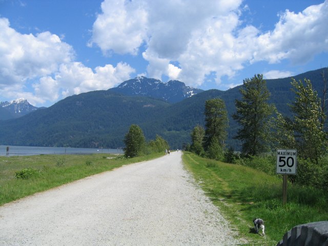
Pitt Lake - Distance ; dependent on which trail. Elevation : level . Time : 30 min. - all day . This is more of a walk along
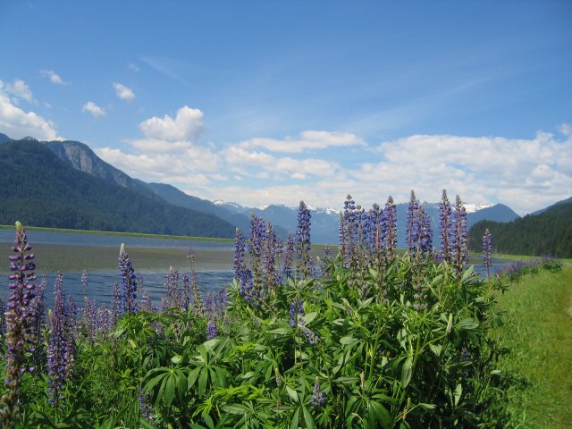
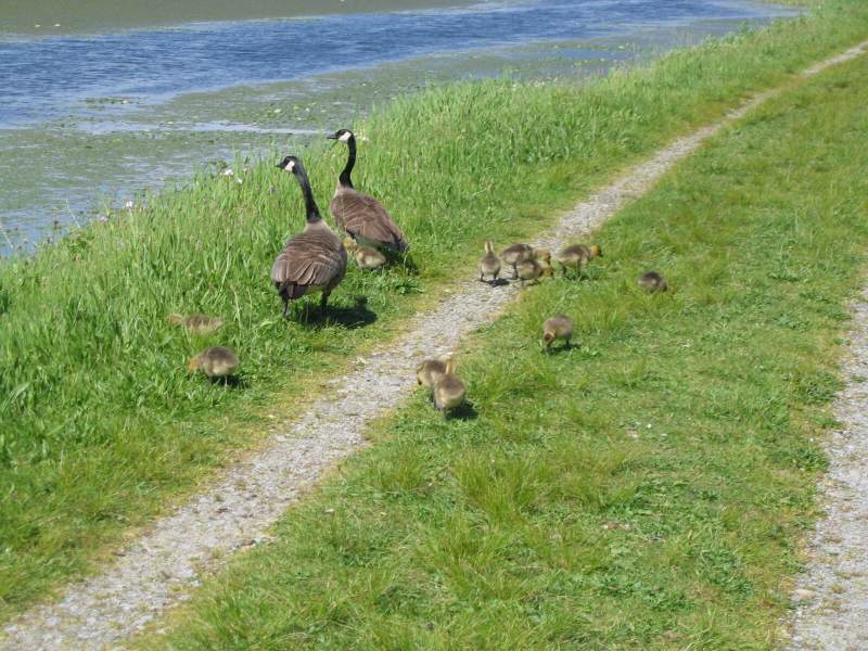
the many dikes or take a bike if you wish.If you are into bird watching this is the place for you. On my many visits I
have seen heron,osprey,eagles,and swans.There is a black bear population in the area that are especially fond of the blackberries
that grow along some of the dikes. When berries are
in season remember your bells and talk loud. Most of the trails
are fairly open and straight so you shouldn't have much of a problem. From past encounters I've found that they are more
interested in the berries than you .Most days there is a good number of people around & not a bear for miles . I suggest
that you start your adventure at the end of Pitt Lake. To get there drive out to Lougheed Hwy. Drive east to Pitt-Meadows,turn
left on Harris Road (look for the Golden Arches on your right ),go north on Harris Road
to Dewdney Trunk Road(1st.
stop sign )turn right . You will be going east again and looking for Neaves Road . Turn left on Neaves ( north ). The end
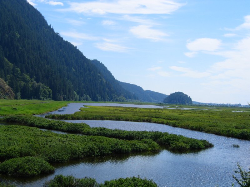
of the lake is 12km. from this point . Along the way there are plenty of dikes to explore if you have the time . At the
very end of the road is Grant Narrows Park . Here you will find picnic tables,parking,a concession,and bathrooms. If you
go on the main dike ,go all the way to the end ,past the tower,and look for a trail to the right. This is a great trip
that takes you in a circle & ends at the parking lot. For a 2-3 hour walk it's perfecton a spring day. If you are so
inclined you can rent a canoe and go to Widgeon creek , but that's another hike for later on.
Rating 1 View 2
Campbell Lake
|
|
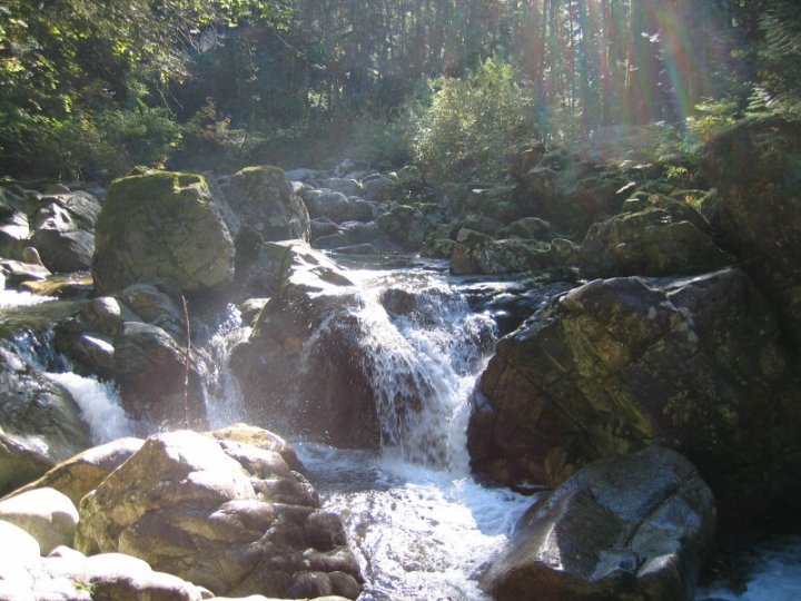
Campbell Lake : Round trip 9 km. Elevation Gain: 600 m. High point : 610 m . Time : 5 hours.
This little trek was suggested by an acquaintance of mine , who incidentally , knows the best
place in Vancouver to buy Gore-Tex at great prices . Many thanks " Chantelle " . The trail starts at the foot of Balsam Ave.
on Hwy. 9 Two short blocks from the Village of Harrison Hot springs. Look for the sign on your left as you drive into town
. This trail is very well marked . Once past the main gate take the right fork
and head up the hill . Take heart , the
steep 35 % climb only lasts for a short distance . After a quick climb there is a view point overlooking Hwy. 9 . From here
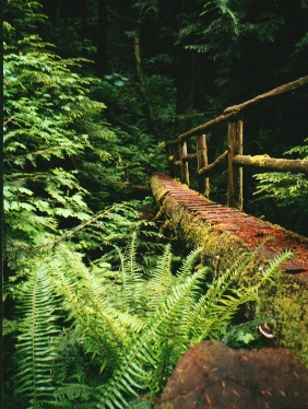
you enter into the bush . The trail follows a rocky old road , which can be a bit of a pain if it has rained that day . There
are a couple of places where the trail is overgrown with wild flowers and salmon berries .At times it seems to just disappear
you'll have to look down at your feet for the beaten path . After 1 hour (1.5 km. ) you come upon Tower # 92 . There is a
rock bluff here and a view point of the valley below . Skirt around the tower and enter the bush in 25 yards you enter into
a second growth forest and a pleasant trail . Though still a bit of a climb , a 16 % grade , the trail winds it's way past
moss , ferns , and a few old growth trees .If your lucky you can catch sight of a red headed woodpecker or maybe a humming
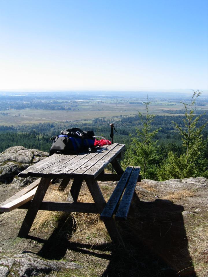
bird near the flowers .As you reach the 2 hour mark ( 3.7 km.) , up on a ridge is the Helipad Viewpoint . I'm not sure if
they actually land helicopters here as it is not too big or very level . The day I was there a fairly stiff breeze was blowing
up from the lake that I suspect would make a landing difficult.From the Helipad the trail returns to the forest dropping along
the north side of the ridge . Cross another log bridge and then on to a grass covered road . You'll come to an old rock slide
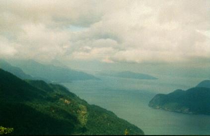
and the lake itself lies just beyond this . I found the lake a big disappointment after the view from the Helipad . It's a
small lake with not too many places to sit .
Rating 2 ½ View 3
U.B.C. Malcolm Knapp Research Forest
U.B.C. Malcolm Knapp Research Forest : Time,Distance,Elevation - Dependent on trail
: There are four
main trails a large number of roads to take . The Four trails are ; Red -
1.4 km. time 45 minutes. Yellow - 3.2 km. time
1.5 hours Green - 2.4 km. time 1.2 hours
Blue - 6.5 km. time 3 hours .
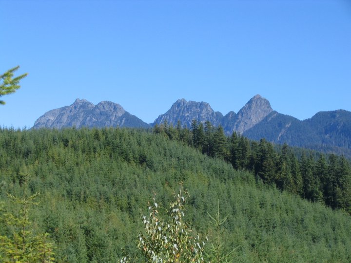
The Forest has 5157 hectares of land and contains just
about every type of terrain found in the
lower coastal region of B.C. The landscape includes six main lakes and several smaller watersheds . There are several roads
as well which make exploring a joy (see map below) . Every time I have been there I have found a new trail. I strongly suggest
you bring a compass if you go off a main trail or road.This is an outdoor laboratory where hundreds of reaserch projects have
been established over the last 50 years. To protect this environment there are certain rules that are in place:
No
dogs , No camping, No bikes, No fires,No fishing, No collecting specimens . You should also be aware that the Forest is open
from dawn until dusk. Having said all that it is still a good place to spend some time . The Forest has a good selection of
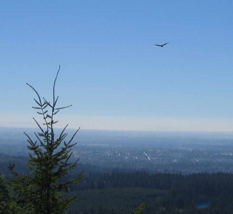
wildlife,deer,black bear,cougars (but you will never see them ) , eagles,hawks,coyotes,owls etc...
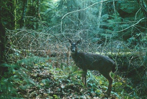
One day while off the
beaten path I stopped for lunch & 3 deer stepped out in front of me . The wind was in my face and they didn't know I was
there , until I clicked the shutter on my camera. If you cross the Pitt River Bridge look up to your left ( coming from Vancouver
) . You will see what appears to be a little chalet on the foothills of Golden Ears Mountain. This is an observatory and you
can getto it by taking Road F50. The view from here is wonderful. my only complaint is that there is no overnight camping.
One could spend days in here . For the fitness buffs the lower trails are very popular with trail & cross
country
runners. If you plan to take a drive out to Maple Ridge turn off on Dewdney Trunk Road and look for 232nd. St. Go north on
232nd. past the turn off for Golden Ears Park. Continue up the hill until you reach Silver Valley Road. Follow this to the
end. You will find lots of parking to the right of the main gate. I've hiked this area year round and have never found it
very busy. This is one of Maple Ridge's best kept secrets.
.
Rating 1 1/2 View 2
Vancouver Hiking
|