Three Brothers Mountain
Distance; Round Trip 21 km (13 miles) Time; 7 hours
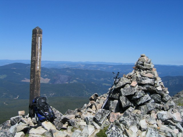
High Point; 2273 m
(7,453 ft)
Elevation gain; 320m (1050 ft)
This trail starts at the Blackwall
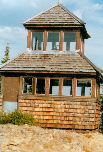
Mt. parking lot. I suggest to save time go, to the upper lot near the microwave
tower. If you are coming from Vancouver, turn left once you get to the Lodge and
main buildings at Manning Park. Off the
highway, turn left again, and follow the road past the cabins. Its paved most of the way and has a very good gravel road the
last few km.
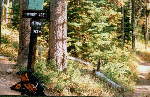
Take the Heather Trail,
one of the most popular in the park, to get to the Three Brothers
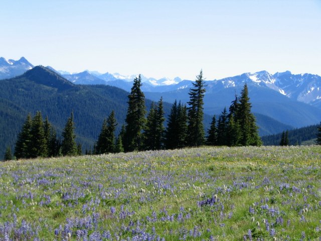
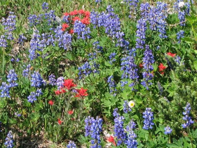
Peak. I suggest doing this trip from mid July to late August as the alpine meadows
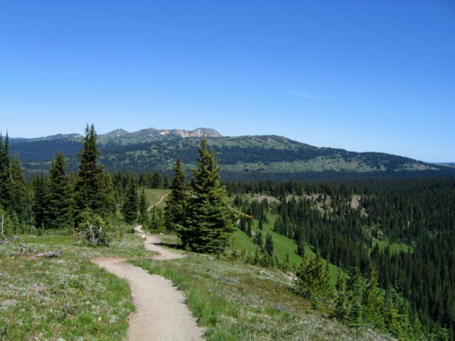
are full of flowers. Add to this the surrounding mountain ranges and you are in for some spectacular views. The Heather
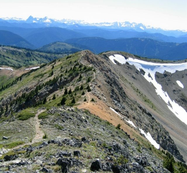
Trail takes you over three gentle rolling hills that people of all ages can enjoy.
While I was there I met people that were in their 70s to young families with their munchkins. The first 45 minutes or about
5 kms should bring you to the Buckhorn campsite. This is a small campground set in one of the valleys with a small stream
running through it. They do have two outhouses there and a couple of small picnic tables. From here the trails goes up Big
Buck Mountain and into the meadows. There are not
any water sources after Buckhorn other than maybe some snow melt near the top of Three Brothers so I suggest you bring enough
water with you or fill up at Buckhorn. You cross two meadows and can see the Peak of the 1st Brother just ahead
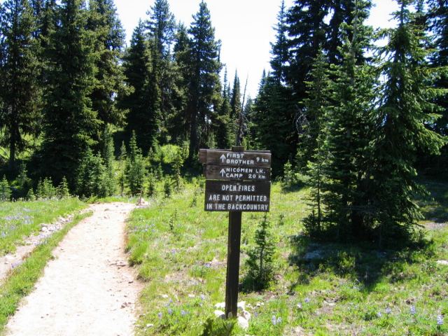
of you. A good place to stop and have a water break is just at the base .Here youll also see the sign post for Kicking Horse
campground which is 3.5kms away. They also have outhouses and a creek for water there if you decide to push on and spend the
night.
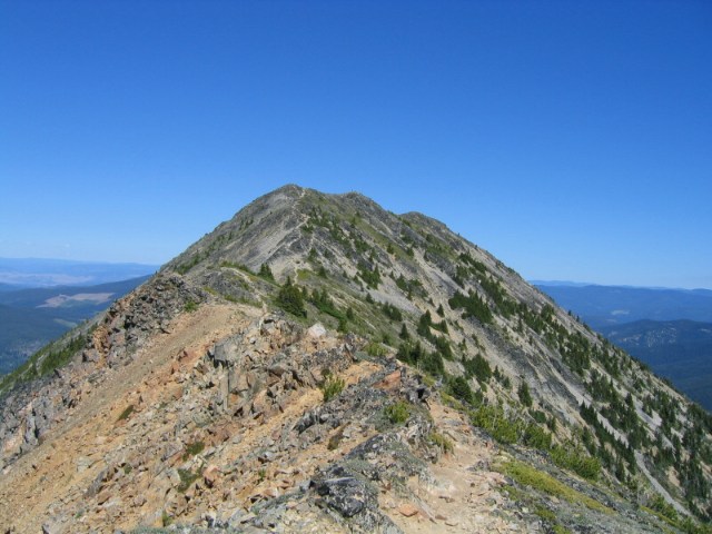
The final push up the hill side brings you to a rocky ridge with
the rock cairn in sight. Extreme care should be used here and although the trail at this point is wide enough to walk on a
slip could be fatal. That being said if you take your time and be sure of your footing you wont have any trouble. Remember
to bring a hat, sunglasses, and sunscreen as the sun at this altitude and on an exposed ridge can be brutal.
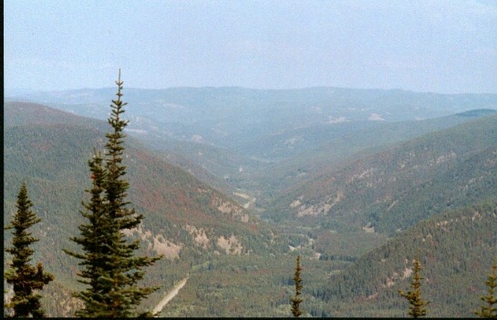
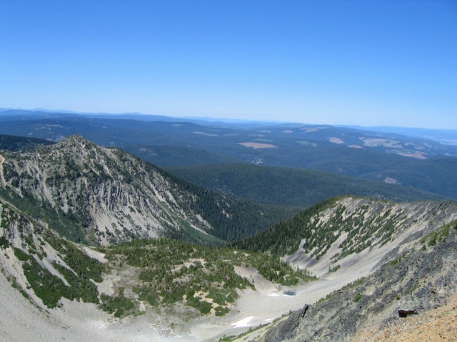
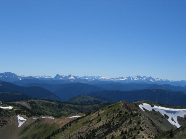
To the east the interior of B.C. is at your feet as far as the
eye can see. To the south and west you will be surrounded by mountain ranges. This is truly one of the most inspiring sights
in the park. "Of course Thats why you're here, right ! "
The only drawback that I found on the trail, apart from the bloodsuckers
when the wind died down, was the staircase leading down from the parking lot. After
doing 21 kms this was a killer for me. The only thing that kept me going was I knew the air conditioner in my car was waiting
to be turned on. After 7 hours in 28 degree weather it would be a welcome relief.
Rating 2 view 3 +